Gut map in AutoCAD (DXF) for NOC and NA permission
एनओसी / एनए परवानगीसाठी गट नकाशा — ऑटोकॅड DXF सह
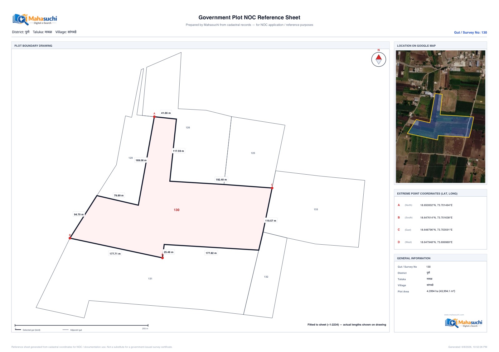
A gut map in AutoCAD for an NA plot, building permission or NOC file usually means waiting days for a surveyor. Mahasuchi creates the survey map DXF from your gut / survey number in minutes — the drawing people also search for as a 7/12 map in AutoCAD:
- Landscape NOC sheet (PDF) with true-dimension plot drawing
- AutoCAD DXF at real scale, ready for your architect
- Google map location and lat/long for every corner
- Every side length labelled
E-Search Form 2.0
View cadastral plot on satellite map
Sample NOC sheet
Documents usually needed for NA / building permission in Maharashtra
- Latest 7/12 extract or property card (usually not older than 3–6 months)
- Mutation entries (ferfar) and ownership history — see Index II report
- Survey / gut map and measurement plan with dimensions
- Proposed site plan or layout drawing (prepared by architect / licensed engineer)
- NOCs as applicable: PWD, highway, irrigation, local body, gram panchayat
Requirements vary by planning authority (Collector, PMRDA, NMRDA, municipal council, CIDCO/NAINA). Always confirm the latest checklist with your authority. Full list: NA permission documents checklist.
Frequently asked questions
What is included in the Gov Plot NOC package?
A landscape NOC sheet (PDF) with the true-dimension plot drawing, Google map location and lat/long of every corner, plus a ZIP containing the AutoCAD DXF drawing and map image.
Can my architect open the DXF in AutoCAD?
Yes. DXF opens in AutoCAD, BricsCAD, ZWCAD, LibreCAD and most GIS tools. The drawing is at true dimensions, so it can be used directly as the base for a site or layout plan.
Which applications is it useful for?
NA (non-agricultural) permission, building permission and development permission files, zone certificates, NOCs from local bodies, layout planning and bank valuations — anywhere a plot drawing with dimensions is asked for.
Is the drawing taken from the government map?
The boundary comes from the public village cadastral map. Mahasuchi turns it into a measured sheet and an AutoCAD DXF. It is not a government measurement certificate. If the authority wants e-Mojani or a licensed surveyor, use this file as the starting drawing.
Is this an official government measurement?
No. It is prepared from village cadastral map data. Where an authority requires a measurement plan from the Land Records department or a licensed surveyor, use this drawing as the starting point.
How fast and how much?
Generated within minutes after payment. ₹1999 + 18% GST (₹2358.82).